Park and Trail Conditions
Please check park webpages for trail maps and required permits.
Trail conditions are updated as conditions change.
Updated: Oct. 9 at 9:33 a.m.
Parks
Seasonal Updates
Lake Byllesby Beach: Closed. View Lake Byllesby Beach page.
Nonmotorized Boat Launch: Open.
Motorized Boat Launch: Open for the season.
Splash Pad: Closed. The splash pad is turned off while repairs are underway. Updates will be posted as they are available.
Seasonal Updates
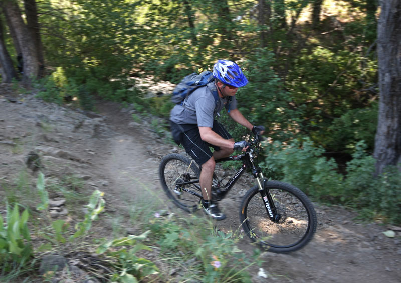
Mountain Bike Trails (West Trailhead): Open. Community reported conditions are available through Trailbot.
Schulze Lake Beach: Closed. View Schulze Lake Beach page.
Equestrian Trails: Open. Closed to hiking. Pass required.
Alerts
Lebanon Hills Sustainable Trails Project - Middle Section Construction
Dakota County is reshaping Lebanon Hills Regional Park's 50-mile trail network to improve visitor experiences and to decrease natural resource impacts. The process involves heavy work - hazard trees will be selectively removed, and trails will be removed or realigned. There may be intermittent, short-term closures while equipment is in use. Please follow all signs and use caution when passing through the work area. For more information, visit the Lebanon Hills Sustainable Trails Project webpage.
Seasonal Updates
Hiking trails: Closed through November 2026.
Alerts
Trailhead closure
The Miesville Ravine Park Reserve Trailhead is closed for construction through November 2026. This closure is due to the Miesville Ravine Park Reserve Site Improvement project.

Seasonal Updates
Fawn Crossing Nature Play Area: Water is available on-site from May-October, weather dependent.
Trails and greenways
Alerts
Trail closure
The Lone Oak Trailhead, the parking lot and a short segment of the nearby trail are closed for bridge construction. The trail may be accessed at the Big Rivers Trailhead. The construction area is closed to the public and is anticipated to last through October 2026. View Minnesota River Greenway project page.
Interstate 35E trail access closed
Access from the greenway across the Interstate 35E bridge from Lilydale to St. Paul is closed due to a MnDOT construction project. For updates, please visit the MnDOT website.
Trailhead closure and detour Detour map
Beginning Sept. 14 the Lilydale Trailhead and the bluff section of the Big Rivers Regional Trail will be closed due to the I-35E River Bridge Sewer Repair Project. The closure is anticipated to last 2 months. A trail detour is available using Highway 13. Please follow all trail closure signage. For updates, please visit the Metropolitan Council Project Webpage.
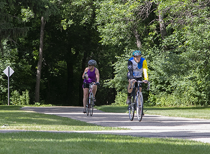
UMORE Park is owned and operated by the University of Minnesota. No parking fee is required for parking. The trail is open from sunrise to sunset with the exception of a 10 a.m. opening time during the months of May and October. Hiking, dogs on leash, skiing and snowshoeing are all permitted on the trail.
Alerts
Temporary trail closure
Effective May 20, 2026, a western portion of the trail will be temporarily closed until repairs or rerouting of the trail is completed. Trail closed signs are posted along the affected area of the trail. For more information please call your local DNR Wildlife office at 651-322-4643.
Alerts
Cedar-Nicols Trailhead to Lone Oak Trailhead
Ongoing trail construction between Cedar-Nicols Trailhead and the Lone Oak Trailhead.
Alerts
100th Street E. to 102nd Street E.
The trail will be closed for pavement maintenance and improvements from Oct. 12-16. The closure area extends from 100th Street E. to just south of 102nd Street E. and the detour route will be along Inver Grove Trail.
Grand Avenue to Wakota Scenic Trailhead Detour map
The Mississippi River Greenway is closed from Grand Avenue to the Wakota Scenic Trailhead through October 2026. A detour is available along Hardman Avenue. Please follow all posted detour signs.
Pine Bend Trailhead to 117th Street Closure map
The trail will remain closed between the Pine Bend Trailhead and 117th Street until repairs can be completed later in 2026. Due to heavy traffic on nearby roads, there is no detour provided.
Concord Boulevard Improvements
Dakota County is improving pedestrian and bicycle safety along County Road 56 (Concord Street/Concord Boulevard). The project is planned from Highway 55 to Interstate 494 and along the Mississippi River Greenway in Inver Grove Heights. See the Concord Boulevard (County Road 56) improvements project page.