
Mississippi River Greenway
Visitor information
Hours: Daily, 5 a.m.–10 p.m.
Phone: 952-891-7000
Address: 1308 N. Concord St., South St. Paul
Admission and parking: Free
Transit options
Use TransitLink from MetroTransit for a direct ride to the Mississippi River Trail.
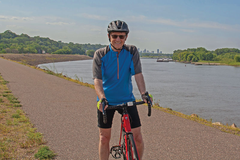
The Mississippi River Greenway runs for 28 miles along the Mississippi River from St. Paul to Hastings. It provides scenic views of the river and connections to local parks, trails and other community destinations. The trail is intended for nonmotorized uses such as walking, bicycling and in-line skating, with trail connections to:
- Hastings 10-mile Scenic Circuit (Hastings)
- Point Douglas Regional Trail (Hastings to Prescott, Wisconsin)
- River to River Greenway (South St. Paul to Lilydale)
- Robert Piram Regional Trail
- Vermillion River Greenway (Hastings)
Restrooms available at:
- Kaposia Landing Park
- Simon’s Ravine Trailhead
- Swing Bridge Trailhead
- Wakota Scenic Trailhead
- Pine Bend Bluffs Trailhead
- Spring Lake Park Reserve
For geo-enabled maps, download Dakota County Parks maps on the Avenza app.
Temporary closures
100th Street E. to 102nd Street E.
The trail will be closed for pavement maintenance and improvements from Oct. 12-16. The closure area extends from 100th Street E. to just south of 102nd Street E. and the detour route will be along Inver Grove Trail.
Pine Bend Trailhead to 117th Street
The trail will remain closed between the Pine Bend Trailhead and 117th Street until repairs can be completed later in 2026. Due to heavy traffic on nearby roads, there is no detour provided after reviewing traffic volumes. The previous detour was intended only as a temporary route. View the south side closure map.
Grand Avenue to Wakota Scenic Trailhead
The Mississippi River Greenway is closed from Grand Avenue to the Wakota Scenic Trailhead through October 2026. A detour is available along Hardman Avenue. Please follow all posted detour signs. View detour map.
Trailheads
- Simon's Ravine Trailhead, 1308 N. Concord St., South St. Paul
- Kaposia Landing Trailhead, 800 Bryant Ave., South St. Paul
- Wakota Bridge Trailhead, Minnesota Department of Natural Resources Boat Launch, South St. Paul
- Swing Bridge Trailhead, 4465 66th St. E., Inver Grove Heights
- Pine Bend Bluffs Trailhead, 111th St. E., Inver Grove Heights
- Fahey Trailhead, 13690 Pine Bend Trail, Rosemount
- Schaar's Bluff Trailhead, 8395 127th St. E., Hastings
- Lock and Dam No. 2 Trailhead, 1350 Dam Road, Hastings